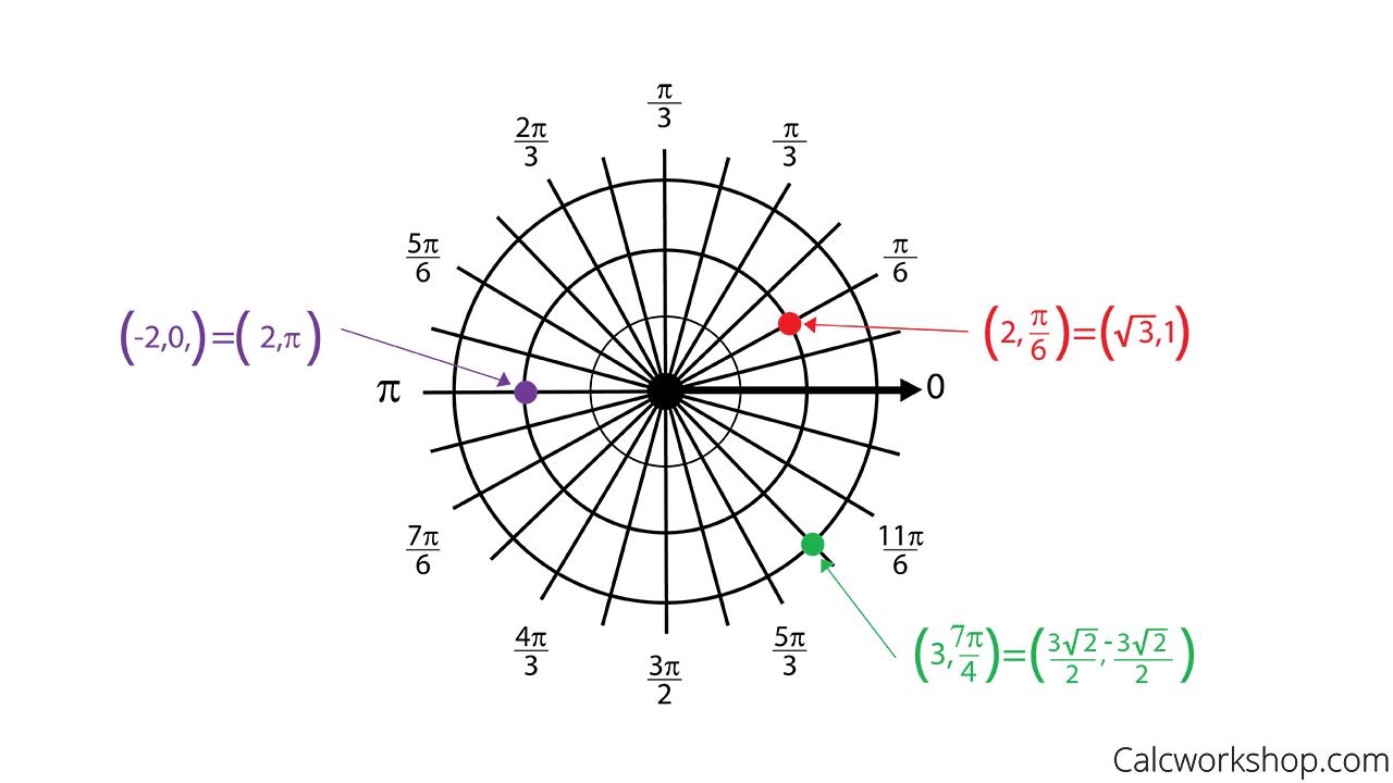
In this lesson we will learn about Polar Coordinates.
A coordinate system represents a point in the plane by an ordered pair of numbers called coordinates.

Representing Polar Coordinates
We are very familiar with the Cartesian (Rectangular) Coordinate System, which are directed horizontal and vertical distances from the x and y axes.
In this video we will describe another system, called the Polar Coordinate System. In Polar Coordinates, a point in the plane is determined by its distance (radius) from the origin, now called the Pole, and the angle theta, in radians, between the line from the origin to the point and the x-axis, which is now called the Polar Axis.
The reason why we need a new coordinate system is that in some situations the Cartesian coordinate system can be quite difficult to implement (i.e., too difficult to differentiate or integrate). As Oregon State points out, these instances arise when we are dealing with circular, cylindrical, or spherical symmetry.
Together, we will learn the following in this video:
- Convert Polar to Rectangular Coordinates
- Convert Rectangular to Polar Coordinates
- How to Graph Polar Coordinates
- How to Find Coterminal Coordinate Pairs
- Convert Polar Equation to Rectangular Form
- Convert Rectangular Equations to Polar Curves
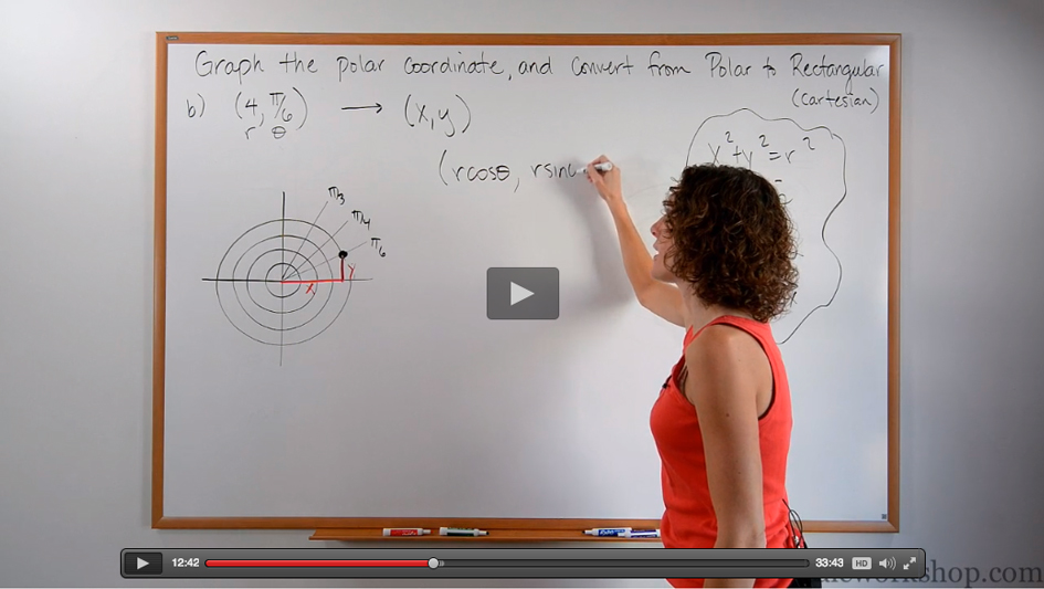
Polar Coordinates Video

Get access to all the courses and over 450 HD videos with your subscription
Monthly and Yearly Plans Available
Still wondering if CalcWorkshop is right for you?
Take a Tour and find out how a membership can take the struggle out of learning math.